 360° Panorama
 Drone Survey
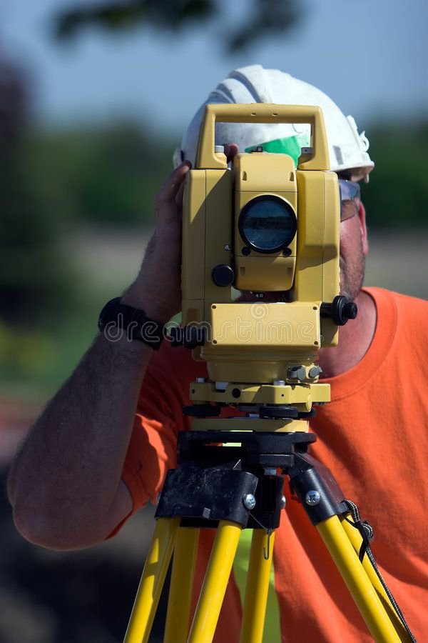
 Site Survey
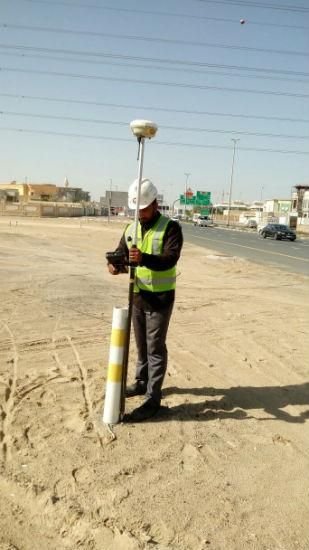
 DGPS Survey
Advanced Imaging Solutions for Multiple Purposes
We are providing high resolution, top quality, cost-effective 360° Scanning and Virtual Tour services across India — for builders, architects, developers and real estate companies.
Check out our services and features — India's most trusted 360° scanning partner.
India's #1 Geo-Spatial Survey Company
Accurate 360° documentation of the site helps prevent misunderstandings and reduces disputes between contractors, engineers, and stakeholders.
Provide a clear visual record of the project site that can be accessed anytime by teams, managers, and clients for better understanding.
High-precision scanning captures exact measurements and site conditions, reducing errors and preventing costly rework.
360° scanning creates a permanent digital archive of the site that can be referenced anytime for documentation and verification.
View and analyze the site remotely through immersive 360° visuals, reducing the need for frequent physical visits.
Easily share interactive virtual tour links with clients and team members, allowing them to explore the site from anywhere.
What We Do
Complete geo-spatial and virtual tour solutions for builders, architects, developers and property owners across India.
Interactive Demo
Click to Launch 360° Demo
Interactive panorama — loads on demand to keep page fast
Click & drag to explore · Scroll to zoom · Mobile gyroscope supported
This is a sample — your space can look exactly this immersive.
Simple Process
WhatsApp or call us — our team will visit your site at a convenient time. Free consultation available.
Our team captures the entire site using advanced 3D laser scanners — typically completed in 2–4 hours without disrupting your work.
Your 360° tour link, point cloud data and reports delivered to your email within 48 hours. Share, embed and use immediately.
Portfolio
Walk through properties with cinematic virtual tours and interactive hotspots. Buyers make decisions without a site visit — conversion rates triple.
Trusted by Leading Indian Companies
Client Reviews
"Our under-construction project is in Chennai. Thanks to LDRGeo, we now monitor progress from Mumbai without stepping on site. Completely different experience."
"Showing properties to NRI clients was always a challenge. Now we share a virtual tour link on WhatsApp and they confirm the booking. Conversions improved significantly."
"As an architect, as-built surveys used to take days. With LDRGeo's point cloud data, our drawings were ready the same day. Both time and money saved significantly."
FAQ
Our Strengths
Our certified surveyors bring years of hands-on field experience across diverse project types — from high-rise buildings to heritage sites — ensuring precise, reliable results every time.
We deploy industry-leading 3D laser scanners, DGPS systems and UAV drones to capture site data with millimetre-level accuracy — far beyond what traditional methods can achieve.
Time is money on any project site. We guarantee delivery of your 360° tour links, point cloud data and reports within 48 hours — express 24-hour options available on request.
From Chennai to Delhi, Mumbai to Kolkata — our teams operate across all major cities and remote locations in India, with dedicated on-ground support and zero compromise on quality.
We offer the most competitive and transparent pricing in the market. No surprise fees, no hidden charges — just clear quotes, proper GST invoicing and honest value for every rupee spent.
Contact Us
Partner With LDR Survey Pvt Ltd